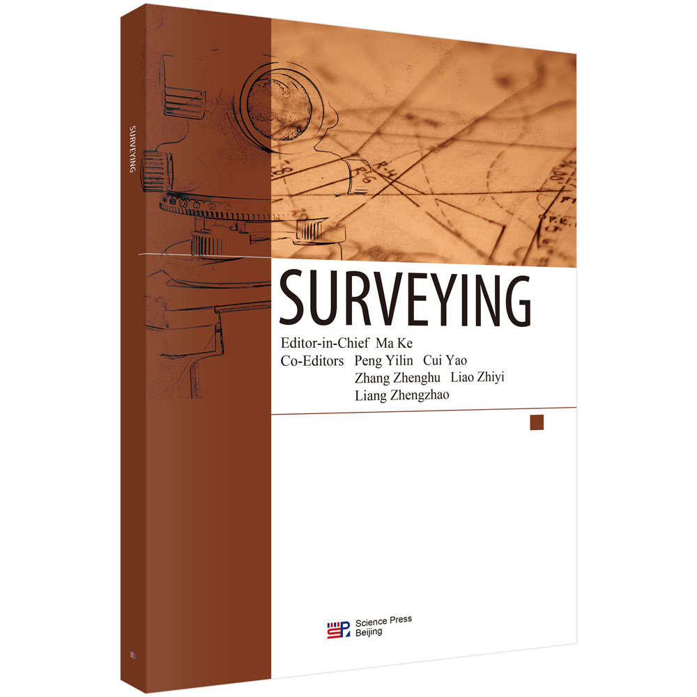
本书根据大连理工大学校内讲义改编而成,已在本校国际班试用1年,全书共分四章,具体包括:Surveying principles; Leveling; Distance Measurement;Introduction to Total Stations and Theodolites。
样章试读
暂时还没有任何用户评论
全部咨询(共0条问答)
暂时还没有任何用户咨询内容
目录
Contents Preface Chapter 1 Introduction to surveying 1 1.1 Overview of surveying 1 1.1.1 Definition of surveying 1 1.1.2 Purpose and objectives of surveying 2 1.1.3 Branches of surveying 3 1.1.4 History of surveying 7 1.2 The Earth and coordinate systems 9 1.2.1 Shape and size of the Earth 9 1.2.2 Coordinate systems used in surveying 11 1.3 Tasks and principles of surveying 15 1.3.1 Tasks of surveying 15 1.3.2 Principles of surveying 16 1.4 Fundamentals of measurement errors 17 1.4.1 Concepts of measurement error 17 1.4.2 Causes of measurement errors 17 1.4.3 Classification and treatment of measurement errors 18 1.5 Fundamentals and applications of surveying 20 1.5.1 Measurement units in surveying 20 1.5.2 Applications in engineering practice 22 Chapter 2 Leveling 24 2.1 Introduction and principles of leveling 24 2.1.1 Introduction to leveling 24 2.1.2 Principles of leveling 25 2.2 Leveling instruments 27 2.2.1 Classification and structure of leveling instruments 27 2.2.2 Applications of leveling instruments 36 2.3 Implementation of leveling surveys and the arrangement of results 38 2.3.1 Benchmarks and leveling lines 38 2.3.2 Field implementation of leveling 41 2.3.3 Leveling arrangement 46 2.4 Inspection and calibration of leveling instruments 48 2.5 Error analysis in leveling 53 2.5.1 Instrumental errors 53 2.5.2 Observational errors 54 2.5.3 Environmental influences 54 Chapter 3 Angle measurement 57 3.1 Principles of angle measurement 57 3.1.1 Principles of horizontal angle measurement 57 3.1.2 Principles of vertical angle measurement 58 3.2 Theodolites 59 3.2.1 Classification of theodolites 59 3.2.2 Structure of a theodolite 59 3.2.3 Basic operations with a theodolite 67 3.3 Horizontal angle measurement methods 69 3.3.1 Set observation method 69 3.3.2 Direction observation method 71 3.4 Vertical angle measurement and calculation 72 3.4.1 Vertical angle measurement 72 3.4.2 Vertical angle calculation 73 3.5 Inspection and calibration of theodolites 74 3.6 Error analysis in angle measurement 78 3.6.1 Instrumental errors 78 3.6.2 Observational errors 80 3.6.3 Environmental influences 80 3.6.4 Operational precautions 81 Chapter 4 Distance measurement and total station 82 4.1 Overview of distance surveying 82 4.2 Steel tape measurement 82 4.2.1 Measuring tools 82 4.2.2 Straight line alignment 84 4.2.3 General measuring methods 85 4.2.4 Error analysis in tape measurement 88 4.3 Stadia surveying 89 4.3.1 Principles of stadia surveying 89 4.3.2 Stadia calculation formula 89 4.3.3 Error analysis in stadia measurement 91 4.4 Electromagnetic distance measurement 93 4.4.1 Principles of photoelectric distance measurement 93 4.4.2 Use of a photoelectric rangefinder 94 4.4.3 Error analysis in photoelectric distance measurement 97 4.5 Total station 99 4.5.1 Overview of the total station 99 4.5.2 Structure and functions of a total station 100 4.5.3 Operation of a total station 103 Chapter 5 Advanced techniques in control and precision surveying 108 5.1 Overview of control surveying 108 5.1.1 Plane control surveying 108 5.1.2 Elevation control surveying 111 5.2 Traverse surveying 111 5.2.1 Types of traverse layouts 112 5.2.2 Traverse surveying in field operation 114 5.2.3 Traverse surveying in office operation 115 5.3 Intersection measurement 121 5.3.1 Forward intersection 121 5.3.2 Rear intersection 123 5.3.3 Side intersection 125 5.4 Third and fourth order leveling survey 126 5.4.1 Main technical requirements 126 5.4.2 Main measurement requirements 126 5.5 GPS control surveying 130 5.5.1 Overview of GPS 130 5.5.2 GPS system components 131 5.5.3 Principles of GPS 133 5.5.4 Application of GPS 137 5.5.5 Error analysis in GPS 140 5.6 Overview of construction surveying 142 5.6.1 Overview 142 5.6.2 Construction setting out 143 References 147


 京公网安备 11010102004214号