0去购物车结算
购物车中还没有商品,赶紧选购吧!
当前位置: 图书分类 > 地球天文 > 海洋科学 > High-resolution Seafloor Survey and Applications

相同作者的商品

相同语种的商品

浏览历史

High-resolution Seafloor Survey and Applications


联系编辑
 
标题:
 
内容:
 
联系方式:
 
  
High-resolution Seafloor Survey and Applications
  • 书号:9787030660312
    作者:吴自银,阳凡林
  • 外文书名:
  • 装帧:圆脊精装
    开本:16
  • 页数:610
    字数:1202000
    语种:zh-Hans
  • 出版社:科学出版社
    出版时间:2020-11-01
  • 所属分类:
  • 定价: ¥1217.00元
    售价: ¥1217.00元
  • 图书介质:
    按需印刷

  • 购买数量: 件  可供
  • 商品总价:

相同系列
全选

内容介绍

样章试读

用户评论

全部咨询

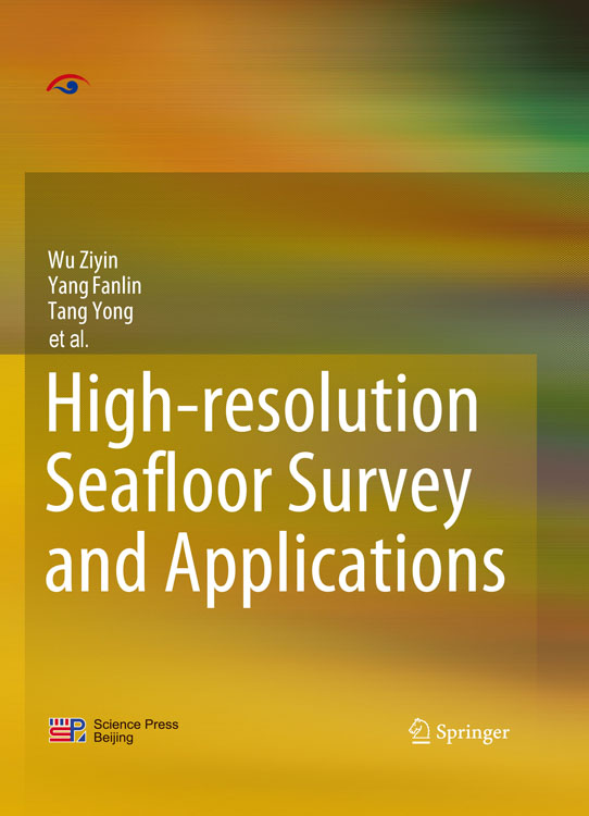
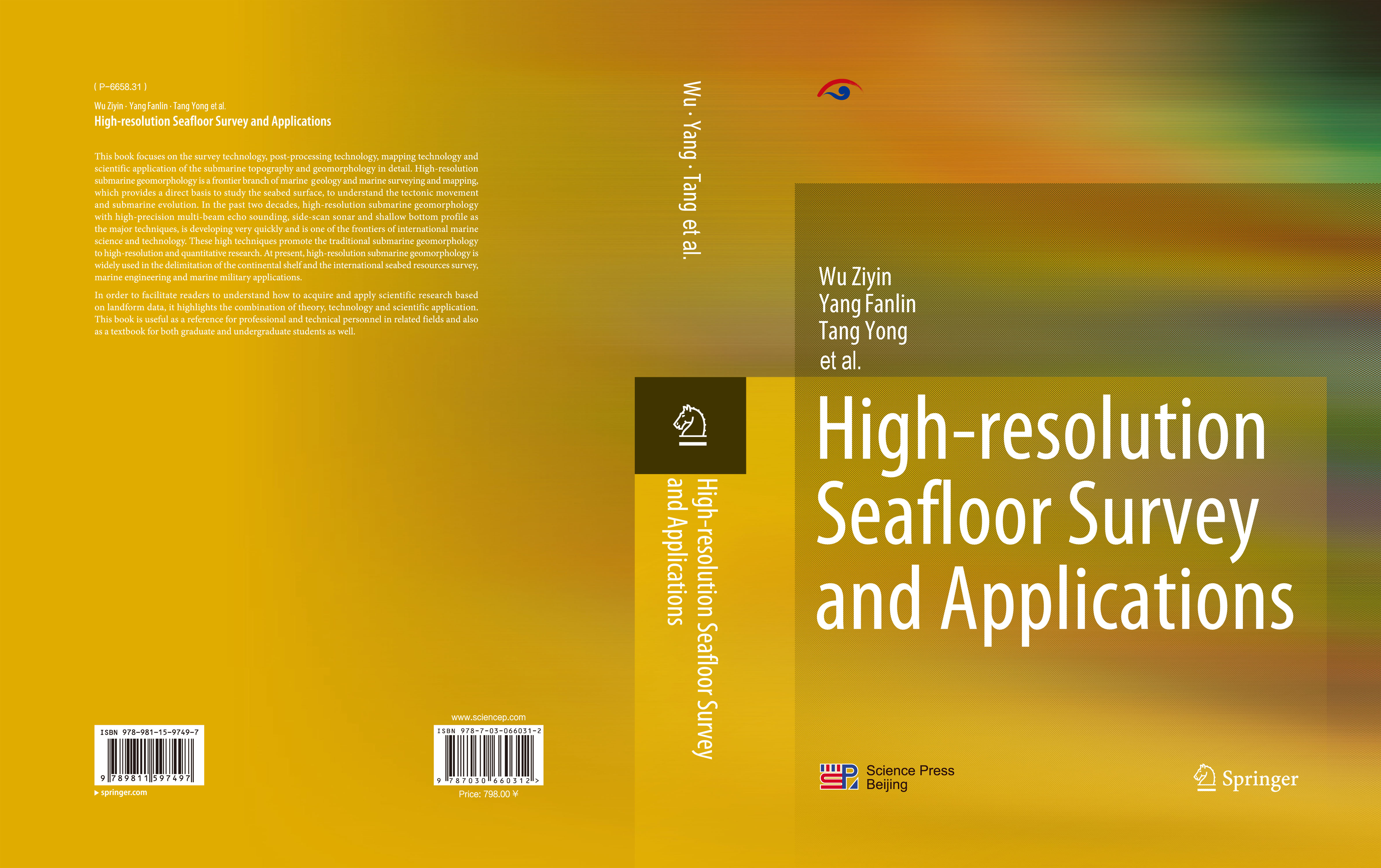
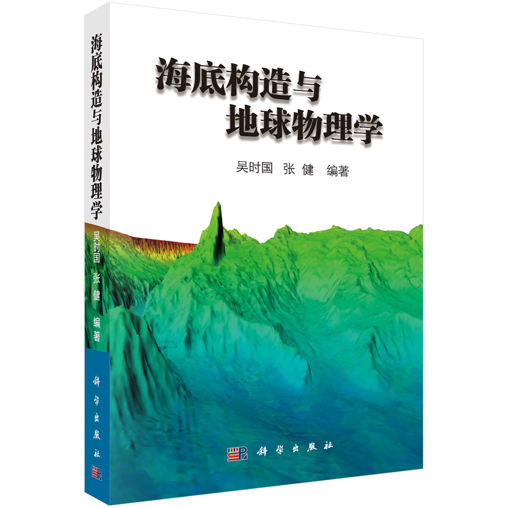
本书对高分辨率海底地形地貌探测技术、处理技术、成图技术和科学应用研究等内容进行了详细论述。高分辨率海底地形地貌学是海洋地质与海洋测绘的一个前沿分支,近20年来,以多波束测深、侧扫声呐和浅地层剖面等为代表的海底地形地貌探测技术得到快速发展,促进了传统海底地貌学向高分辨率和定量化方向的发展,在大陆架划界、海底资源调查、海洋工程建设和海洋军事应用等方面得到了广泛应用。
样章试读
  • 暂时还没有任何用户评论
总计 0 个记录,共 1 页。 第一页 上一页 下一页 最末页

全部咨询(共0条问答)

  • 暂时还没有任何用户咨询内容
总计 0 个记录,共 1 页。 第一页 上一页 下一页 最末页
用户名: 匿名用户
E-mail:
咨询内容:

目录

  • Contents
    Preface
    1 Overview of Bathymetric Surveying Technology 1
    1.1 Shipborne Bathymetric Surveying Technology 1
    1.2 Spaceborne and Airborne Geomorphology Detection Technology 14
    1.3 Underwater Robots and Technology for the Detection of Submarine Observation Networks 19
    2 Multi-beam Bathymetric Technology 32
    2.1 Principle of Multi-beam Sounding Technology 33
    2.2 Basic Technical Requirements for Multi-beam Survey 45
    2.3 Sounding Data Filtering Method Based on CUBE Algorithm 54
    2.4 Sound Velocity Correction for Multi-beam Bathymetry Sounding 69
    2.5 Multi-beam Backscatter and Water Column Data Processing Method 94
    3 Airborne Laser Bathymetric Technology 119
    3.1 Working Principle of the ALB System 120
    3.2 Main Technical Parameters of the ALB System 129
    3.3 Wave Correction Technology Based on the ALB Point Cloud 132
    3.4 Refraction Correction Based on Sea Surface Profile and Ray Tracing 135
    4 Side-scan Sonar and Sub-bottom Profiler Surveying 148
    4.1 Side-scan Sonar Detection Technology 148
    4.2 Sub-bottom Profiler Detection Technology 155
    4.3 Processing Technology and Method of Side-scan and Sub-bottom Profile Data 162
    5 Navigation and Positioning Technology 188
    5.1 Development of GNSS 189
    5.2 Marine Navigation and Positioning Technology 194
    5.3 Data Format and Correction Model for Error in a GNSS 206
    5.4 GNSS PPP Data Processing Method 209
    5.5 Extended Application of a GNSS in Oceanography 211
    6 Tide Level Measurements and Vertical Datum Conversion 222
    6.1 Technical Methods of Tide Level Measurements 222
    6.2 Analysis and Forecast of Tide Level Data 230
    6.3 Water Level Corrections for Bathymetric Surveys 232
    6.4 Vertical Data and Transformation Approaches for Hydrography 242
    7 Constructing and Mapping a Seabed DTM 256
    7.1 Three Methods of Constructing a Seabed DTM 256
    7.2 MN Method for Multi-source Bathymetric Data Fusion 263
    7.3 Topological Construction Method of a Submarine Topographic Map Based on the DTM Boundary 278
    7.4 Establishing the Topology of a Submarine Geomorphologic Map 285
    7.5 Constructing 3D Submarine Topography Maps 291
    8 Acoustic Seafloor Characterization 307
    8.1 Development Status of Seafloor Classification Approaches 308
    8.2 Properties of Seafloor Sediment and Principles of Acoustic Classification 310
    8.3 Backscatter Data Processing 335
    8.4 Acoustic Feature Extraction 358
    8.5 Methods for Acoustic Seafloor Classification 365
    9 Intelligent Detection and Recognition of Seabed Targets in Side-scan Sonar Images 382
    9.1 Research Progress on Target Detection in Side-scan Sonar Images 383
    9.2 Active Contour Model and Variational Method 387
    9.3 Region-scalable Fitting Active Contour Model and Nonlocal Means-based Speckle Filtering 398
    9.4 Object Segmentation Based on the Nonlocal Means-based Speckle Filtering and Edge-constrained Region-scalable Fitting Model 401
    9.5 Experimental and Comparative Studies 406
    9.6 Target Detection Software Interface and Description 419
    10 Applications of Submarine Geomorphology 425
    10.1 Sand Ridges on Continental Shelf of the East China Sea 425
    10.2 Sand Wave Migration in Monterey Submarine Canyon, California 438
    10.3 Study on Gas Hydrate Geomorphology Identification Marks on the Northern Slope of the South China Sea 448
    10.4 Study on the Morphotectonics of the Manila Subduction Zone 455
    10.5 A Morphotectonics Study of the Central Southwest Indian Ridge 465
    10.6 Study of Supporting Techniques for Naming of International Undersea Features 479
    10.7 Study on the Identification of Submarine Topographic Boundaries of the Okinawa Trough in the East China Sea 486
    11 Technology and Practice of Continental Shelf Delimitation 507
    11.1 United Nations Convention on the Law of the Sea 507
    11.2 Continental Shelf Delineation System 515
    11.3 Techniques and Methods for Determining the Outer Limit of the Continental Shelf 520
    11.4 Delimitation of the Continental Shelf-Review and Example 541
    12 Mineral Resources Assessment of the International Seabed 564
    12.1 Polymetallic Nodules 567
    12.2 Cobalt Crusts 574
    12.3 Polymetallic Sulfides 588
帮助中心
公司简介
联系我们
常见问题
新手上路
发票制度
积分说明
购物指南
配送方式
配送时间及费用
配送查询说明
配送范围
快递查询
售后服务
退换货说明
退换货流程
投诉或建议
版权声明
经营资质
营业执照
出版社经营许可证